The Downhill Radar Site consists of still-standing remains of both the 1940 Chain Home Low Radar site and the upgraded 1941 A.M.E.S. Type 2 replacement site.
The Downhill Chain Home Low Radar Station stood on a commanding site on Bishops Road overlooking the coast at Downhill, Co. Londonderry. The first site stood on the south side of the road, replaced in 1941 by R.A.F. Downhill (A.M.E.S. 59A) on the opposite side of the road.
Chain Home Radar formed the backbone of radar coverage for the entire United Kingdom during the Second World War. It was, however, not foolproof and enemy aircraft flying below around 450 metres could often escape detection. Development of the Chain Home Low Radar system combated this. The initial system used a pair of rotating aerials – Tx to transmit and Rx to receive.
In November 1940, the construction of Chain Home Low Radar site 59A took place at Bishops Road, Downhill, Co. Londonderry. Surveying of the site had taken place two months earlier. Built on the southern side of the road, the site included transmitter and receiver blocks, Nissen huts, stores, shelters, and gun posts.
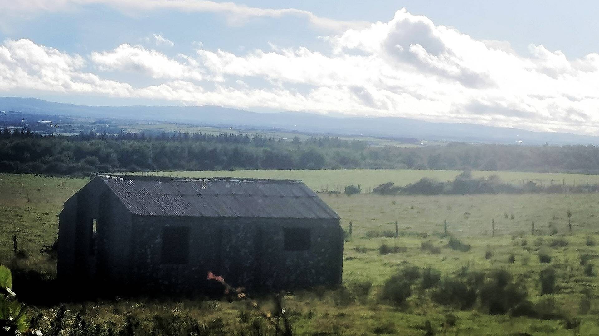
A small guard house on the site housed an army detachment tasked with providing defence of the radar site. This structure is well-preserved with even the original roof and window frames remaining in place.

Traces of concrete bases of Nissen huts and the base of an air raid shelter and fuel compound also remain at the site.
The Downhill site at Bishops Road was upgraded in 1941 with a new operations block and standby set house built on the northern side of the road. The first Chain Home Low Radar system was replaced by the Air Ministry Experimental Station (A.M.E.S.) Type 2 Radar Set. This provided a single aerial to both transmit and receive, and a single operations block from where to control the site.
Building of an entirely new site would have enabled continuity of use during construction. It would also have been quicker and more cost-effective to build from new rather than modify the outdated structures and technology.
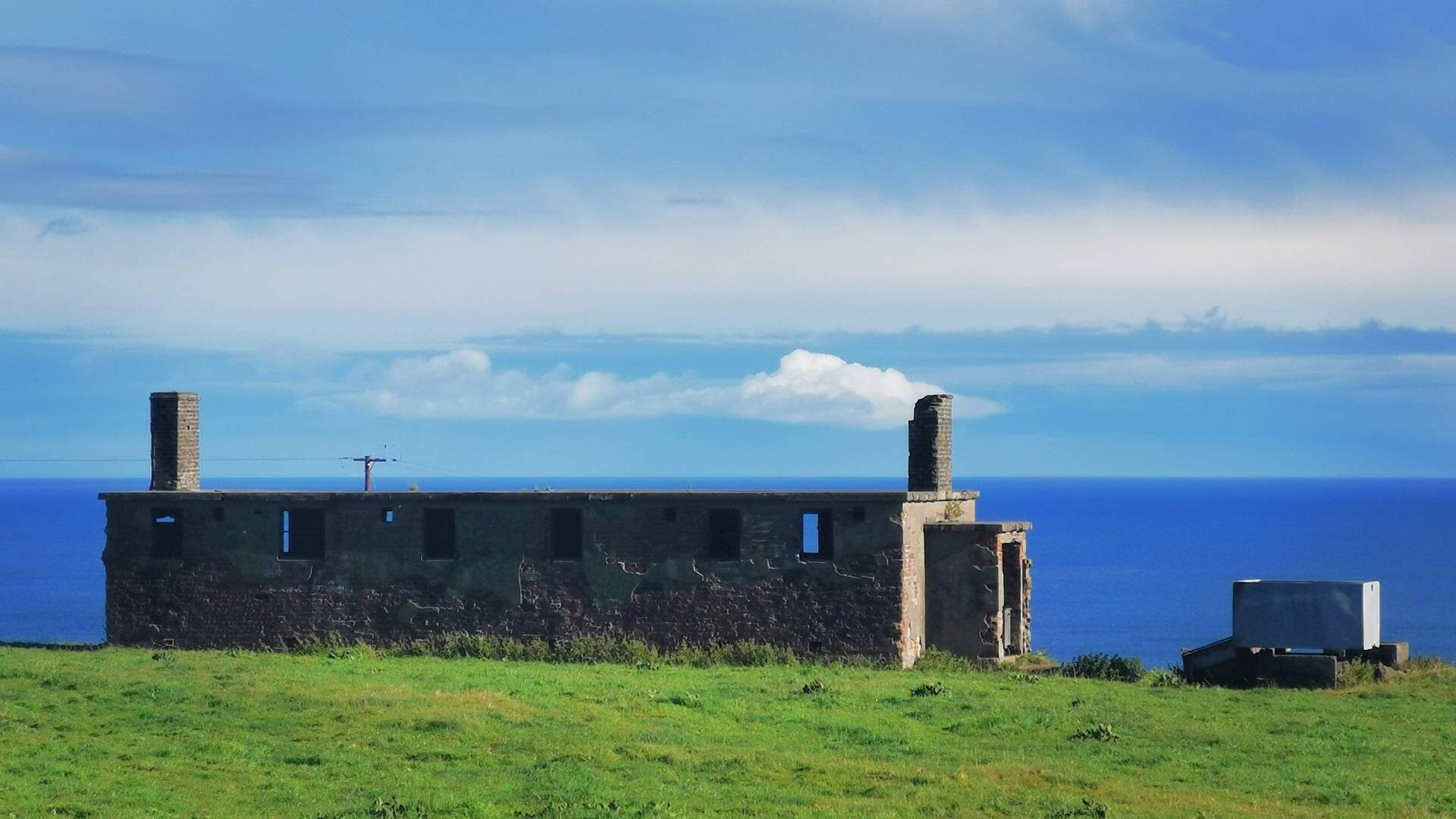
The upgraded operations block transmitted and received signals from a single aerial. This allowed the location of targets more quickly and accurately, as well as the ability to track multiple targets on a single display. Constructed of rendered brick, the block was divided into two main rooms.

The first room contained plotting tables, position indicators, and maps. The second larger room was the transmitter room containing the control panel and transmitter. A short corridor connected the main rooms to a pair of smaller rooms operating as a restroom and store.
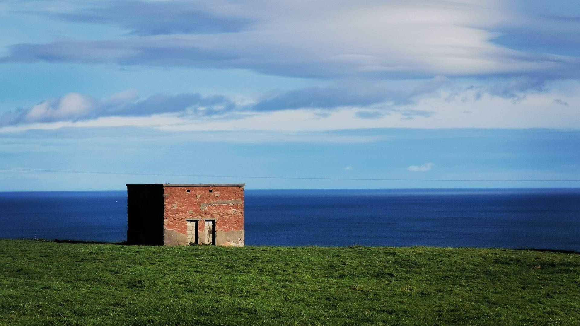
Each Chain Home Low Radar site had a standby set house to generate power. This ensured continuous operation in the event of mains power to the site being cut off. The red brick structure has a concrete slab roof supported by steel beams. Concrete beds on the floor suggest the presence of a pair of generators at the Downhill site.

Two of the three entrances have been blocked off in the years since the Second World War. A third entrance has been enlarged, perhaps by the landowner to allow access for farm machinery.
The upgraded radar gantry was a single rotating aerial that flicked between transmit and receive. It was easier to construct, install, and maintain than its double-antenna predecessor. It offered a range of approximately 100 miles. Only traces of concrete blocks that supported the steel gantry remain.
There is much to see of the Chain Home Low Radar site at Downhill. Bishops Road in itself is a beautiful drive past the statue of Manannán Mac Lir and on towards Downhill Beach. The site is on private land but standing structures are easily visible from the roadside.